
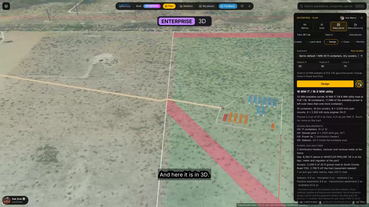
 2:24
Data center developers
Plan a data center
Open Plan on a tract: site score, power sizing with gas and generation, fiber and water, land value, layout and 3D, costs from your own model, permits in order and the offer.
Seven short videos recorded on the live map, about 16 minutes in all. Each one is split into chapters, so you can jump straight to the step you are on. In the map, the Watch how link on a panel opens the chapter for that step.
2:24
Open Plan on a tract: site score, power sizing with gas and generation, fiber and water, land value, layout and 3D, costs from your own model, permits in order and the offer.
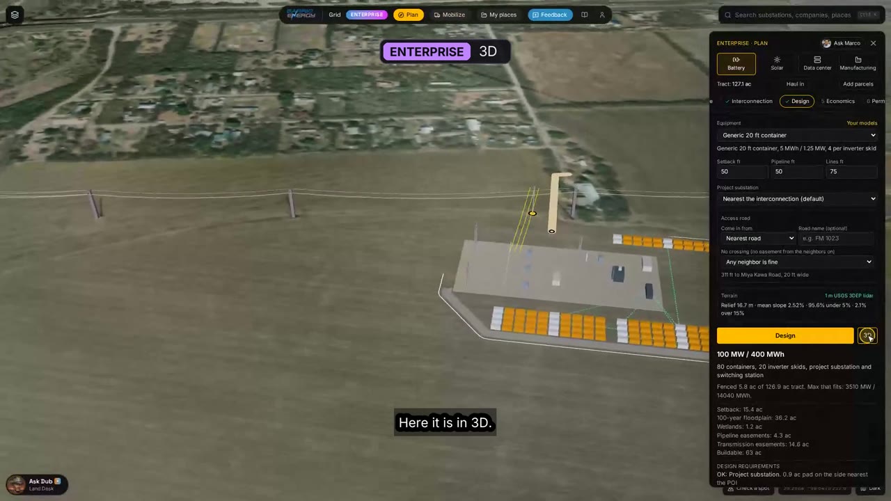 1:49
Site score and node spread, land value, interconnection, layout and 3D, economics, permits and the landowner offer, step by step in Plan.
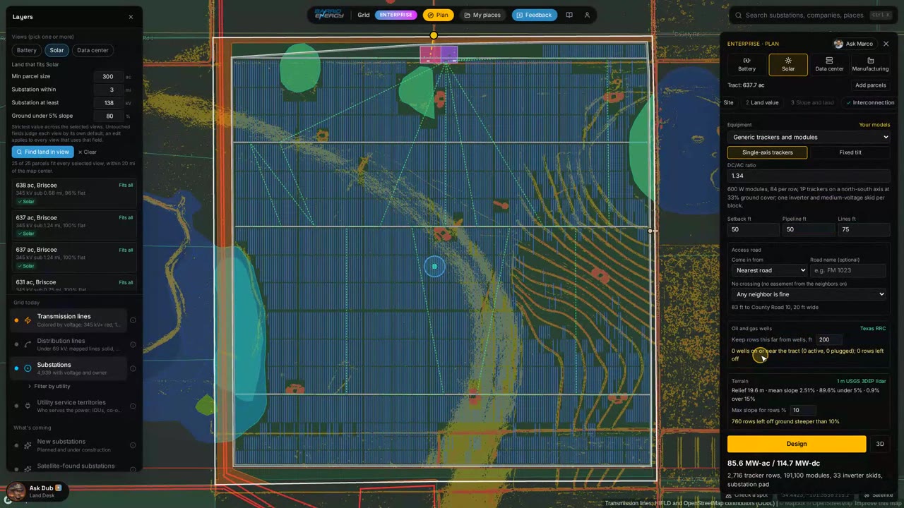 2:41
Capture price by node, sunshine on any spot, the solar queue, the land filter, then Plan: site score, tracker layout on lidar and economics.
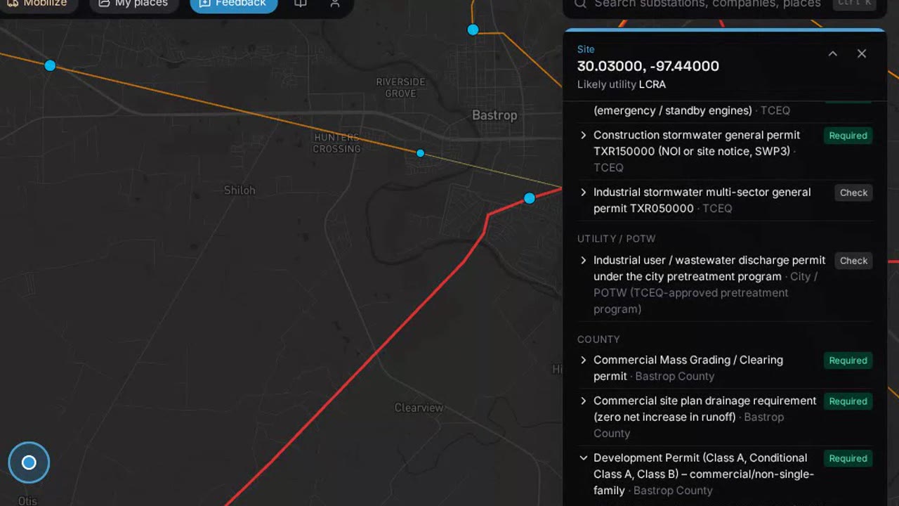 1:46
Who governs a spot, what is on hold, every permit with its primary source, the ordered plan with its critical path and the permit report.
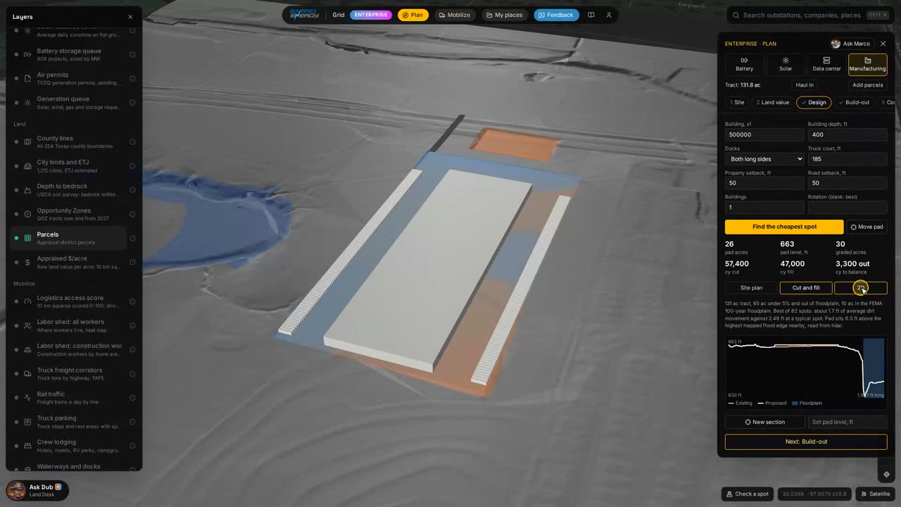 2:15
Lidar pad search, the ground model, cut and fill volumes, the section, the balanced pad in 3D and earthwork priced with your own unit prices.
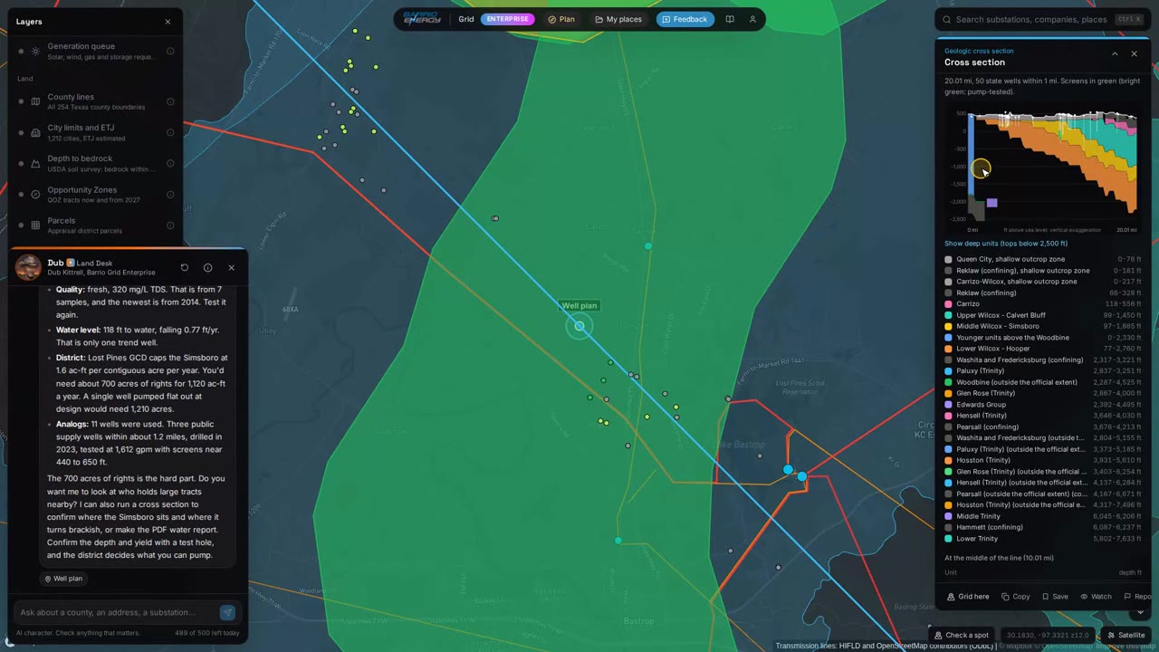 2:45
Aquifers, water wells, district rules, trends and salinity, water buy areas, planning a supply well, cross sections and the water report.
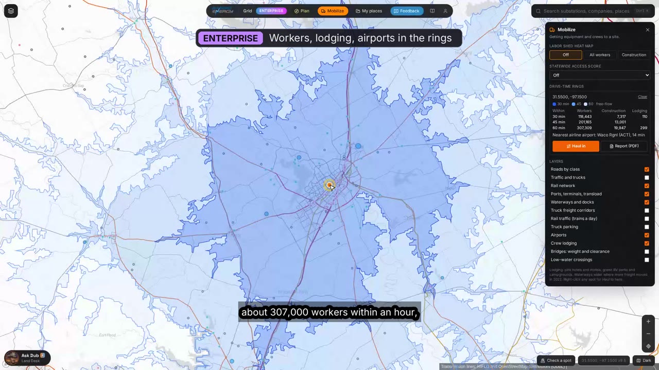 2:29
Workers by drive time, crew lodging, rail and ports, truck corridors, drive-time rings, the access score, heavy-haul routes and truck, rail and barge compared.
Something missing? Request a how-to or read the help page. Open the map